
From Global Crop Grids to Actionable Insight: Soybean, Oil Palm and Olive
Explore harvested and physical crop area across approximately 1.27 million source grid cells, with selectable crops, basemaps, and per-cell values.
Monopteryx blog
Explore harvested and physical crop area across approximately 1.27 million source grid cells, with selectable crops, basemaps, and per-cell values.
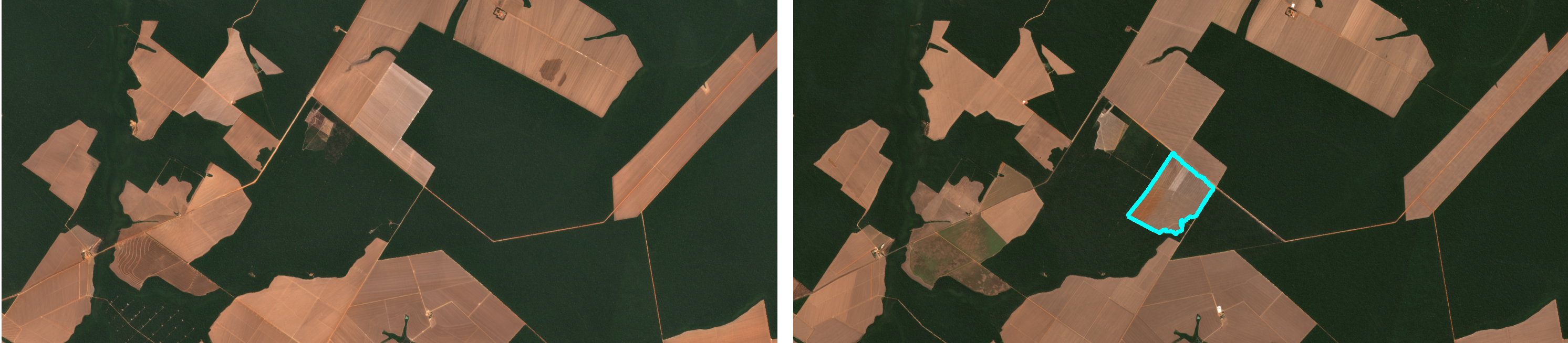
Explore dated satellite evidence, 80 candidate field boundaries, 77 agricultural fields, crop-model probabilities, and seasonal vegetation activity for a field-level screening case.
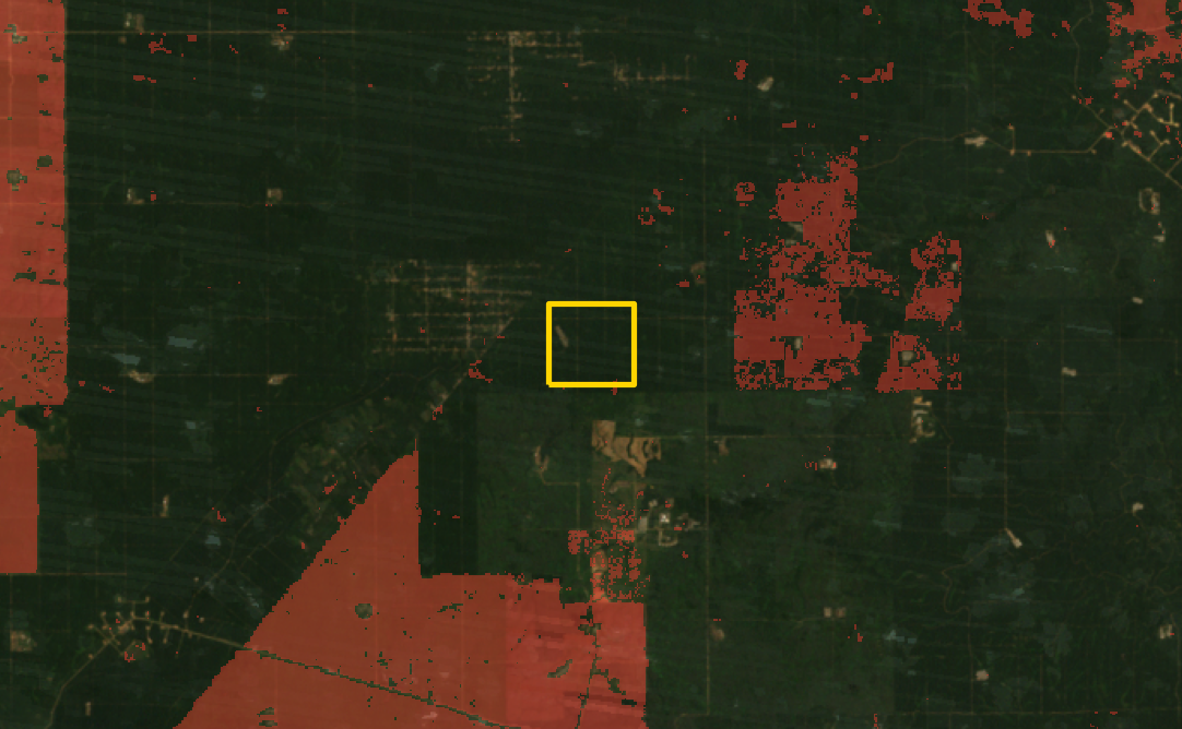
Review annual Landsat and tree-cover-loss evidence, explore 18 complete analytical fields, inspect palm-crown vectors and compare transparent low, central and high production scenarios.
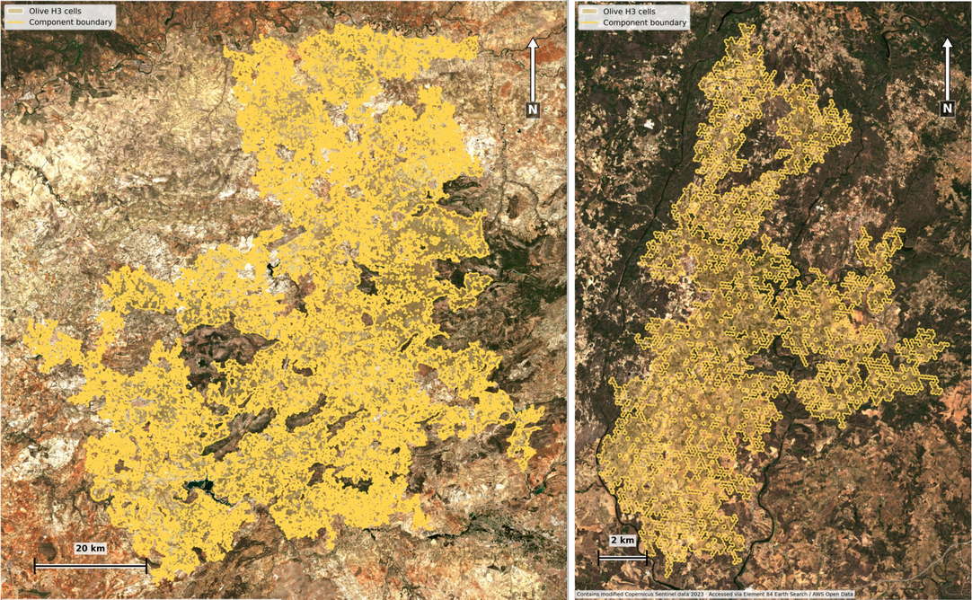
Explore two connected olive landscapes and the publication images that connect EuroCrops field boundaries, balanced sampling, terrain and CHMv2 canopy evidence.
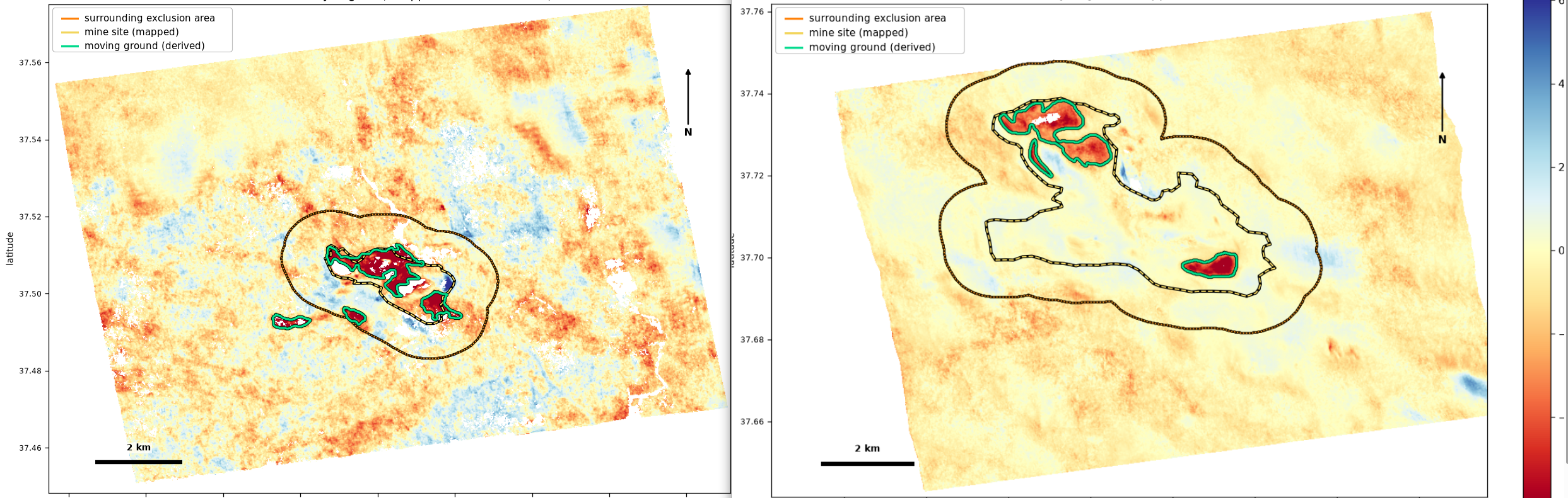
Compare two matched Sentinel-1 assessments and review the figures and verification checks.